
History-Collectors.com
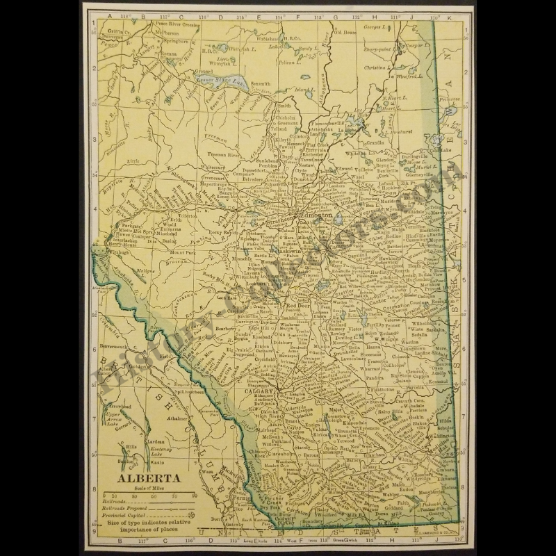
1929 Alberta Canada Map - C.S. Hammond And Company New York - Roaring Twenties Era - Ready For Framing
1929 Alberta Canada Map - C.S. Hammond And Company New York - Roaring Twenties Era - Ready For Framing
Couldn't load pickup availability
Vintage Original 1929 Alberta Canada Map - C.S. Hammond And Company New York - Roaring Twenties Era - Ready For Framing
This C.S. Hammond & Company Map Of Alberta Canada Circa 1929 Serves As A Primary Source Document Capturing The Geopolitical And Economic Landscape Of The Canadian Prairies During The Interwar Period. Published In New York By A Renowned Cartographic Firm, This Map Illustrates The Province’s Territorial Boundaries, Major Urban Centers Including Edmonton And Calgary, And An Extensive Network Of Existing And Proposed Railroads Essential For Early 20th-Century Settlement. The Document Features Detailed Topographical Markers Such As The Rocky Mountains, Lesser Slave Lake, And The Peace River District, Utilizing A Graduated Lettering System To Denote Population Density And Regional Significance. This Archival Map Represents The Zenith Of Western Canadian Expansion Prior To The Great Depression, Providing Critical Data On Land Surveying, Transportation Infrastructure, And Provincial Development In 1929.
In Very Good Vintage Condition – Trimmed Edges, Toning Due To Age And History-Collectors Watermarked That Is Not On The Map. Measures Approx. 7-1/8" Wide by 5-1/8" Tall.
Product Photos Include A Watermark And Possibly An Object For Scale / Photography Purposes Only. Also, Product Listings May Include Newspaper Images, Display Photos Or Short Video Clips Relevant To The Item Which Are Not Included In The Purchase. The Product Title Is For The Exact Item Available.
Share