
History-Collectors.com
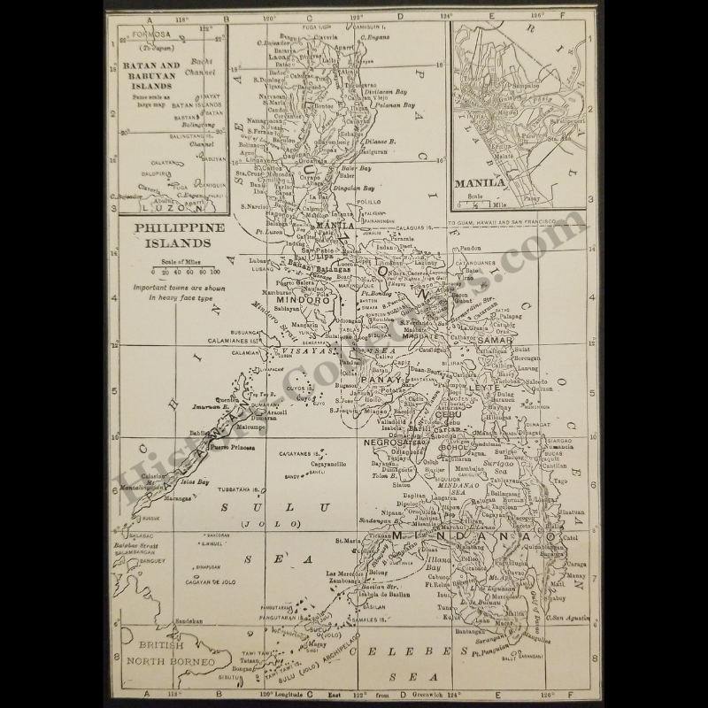
1929 Philippine Islands Map - American Colonial Period - Insular Government - Japanese Formosa - British North Borneo - Roaring Twenties Era - Ready For Framing
1929 Philippine Islands Map - American Colonial Period - Insular Government - Japanese Formosa - British North Borneo - Roaring Twenties Era - Ready For Framing
Couldn't load pickup availability
Vintage Original 1929 Philippine Islands Map - American Colonial Period - Insular Government - Japanese Formosa - British North Borneo - Roaring Twenties Era - Ready For Framing
This 1929 Cartographic Map Of The Philippine Islands Represents A Primary Source Document From The American Colonial Period. Published During The United States Occupation Of The Archipelago, This Map Details The Insular Government's Administrative Boundaries And Infrastructure Progress. To The North, It Correctly Identifies Formosa Under Japanese Occupation, While The Southwest Border Highlights British North Borneo Under United Kingdom Rule. The Manila Inset And Regional Topography Provide A Precise Geographic Snapshot Of Early Twentieth-Century Southeast Asian Geopolitics And Western Territorial Expansion.
In Very Good Vintage Condition – Trimmed Edges, Toning Due To Age And History-Collectors Watermarked That Is Not On The Map. Measures Approx. 5" Wide by 7" Tall.
Product Photos Include A Watermark And Possibly An Object For Scale / Photography Purposes Only. Also, Product Listings May Include Newspaper Images, Display Photos Or Short Video Clips Relevant To The Item Which Are Not Included In The Purchase. The Product Title Is For The Exact Item Available.
Share